Learn: Transforming the learning experience, through technology

Augmenting Reality to Inspire Exploration

At UC Davis, a high-tech sandbox offers a preview of what to expect in the classroom of the future, where learning happens in all dimensions.

The future of education rests in using technology, such as augmented reality (AR), to help bring concepts to life. To augment reality is to make it greater in some way. At the W.M. Keck Center for Active Visualization in the Earth Sciences at UC Davis, a National Science Foundation–funded AR project invites students to “explore the importance of water, via lines of inquiry in hydrology, earth science, and environmental studies,” according to the facilitation guide.

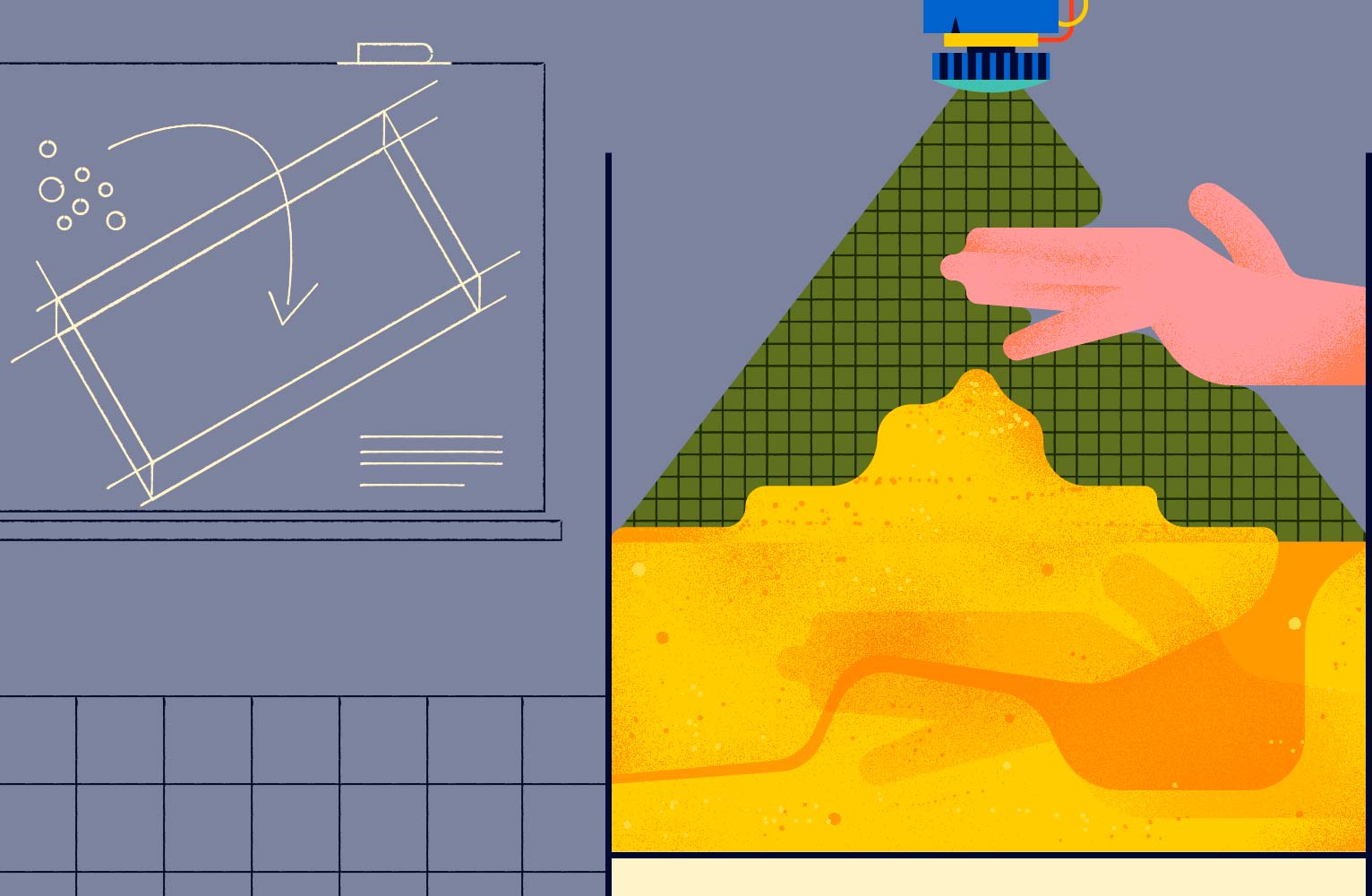
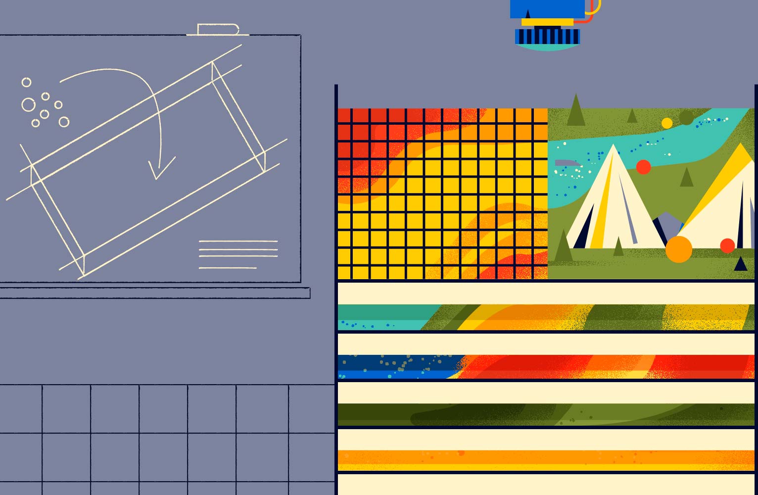
The hands-on exhibit, known as AR Sandbox, combines a real sandbox with virtual topography and water. The augmented image, which displays contour lines, watersheds, water movement, elevation, catchment areas, and more, is projected onto the terrain of the sandbox using a 3-D infrared camera, simulation software, and a data projector.

According to a 2006 National Geographic–Roper Public Affairs Geographic Literacy Study, “most young adults between the ages of 18 and 24 demonstrate a limited understanding of the world beyond their country’s borders, and they place insufficient importance on the basic geographic skills that might enhance their knowledge.” Sixty-three percent can’t find Iraq on a map of the Middle East; 75 percent don’t know that the majority of the population of Indonesia is Muslim; and, closer to home, less than half can identify the states of New York or Ohio on a map.

Science, technology, engineering, and mathematics (STEM) subjects, like geography and environmental sciences, are often best understood when they are conceptualized and visualized. Students can’t just click through the AR Sandbox; they have to interact with it. They linger at it, which is why it’s so helpful in reinforcing their understanding of contour lines. Suddenly, those curvy lines on flat maps mean something.

Here’s what it looks like to learn about geography, topography, and hydrology through play.

The camera

A crucial component of the AR Sandbox, the camera acts as the basis for the entire operation by creating the 3-D model of the sandbox’s terrain. The camera has two functions. The first involves projecting infrared dots, invisible to the naked eye, in a pattern over the surface of the sand. Then, based on the distortion of the dot pattern, the computer running the AR Sandbox software is able to figure out the distance between different parts of the sand’s surface. From this information, the computer inside the camera can reconstruct a scale model of the sandbox, apply colors, and generate contour lines. The attached projector transmits this image back onto the sandbox, which is expressed as a 3-D topographical map.

The 3-D topographical map

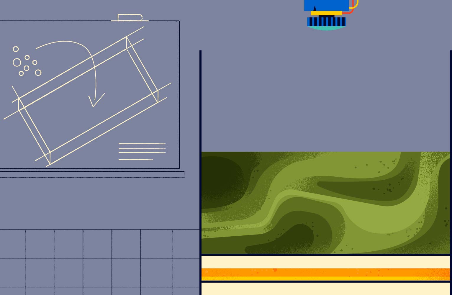
The resulting contour lines demonstrate gradients and elevations, allowing pupils to truly immerse themselves in a topographical image. They can judge things like the slope of the terrain or the angle of an exposed bedding. This means they get applicable field skills before they even leave the classroom.

“One of the first things that our undergraduates have to learn is how to read and interpret maps,” said Dr. Oliver Kreylos, the software developer for the AR Sandbox and a researcher in the Department of Earth and Planetary Sciences at UC Davis. “It’s very important for students to learn and understand the 3-D structure under the surface of the Earth, because this tells you how a landscape is changing and will change in the future.”

It’s a difficult subject to teach, he said, because they used to only have two-dimensional maps to work with. That changed with AR. “When the students worked with the sandbox, suddenly, it clicked with them,” he said. “They could see a topographical map in 3-D and line it up with their eye.” Those who used the sandbox were later able to make better observations in the field and more accurate maps, he added.

Real-time topographical updates

The main allure of the sandbox is the ability to touch the sand, move it, and shape it. With each line drawn and each hole dug, the camera perceives the changes made, scans the surface again, and creates another 3-D model. The projected colors and lines change in real time. “There’s an immediate tactile response of getting your hands in the sand and having that sensual, reinforcing memory,” said Joseph Kinyon, GIS manager with the Sonoma Land Trust. He believes that this hands-on experience should be leveraged to reach students who comprehend best by seeing, doing, and experiencing an emotional impact. It also offers him a way to teach his pupils the relationship between people and a landscape, plus how areas have changed over time.

Moving within the experience

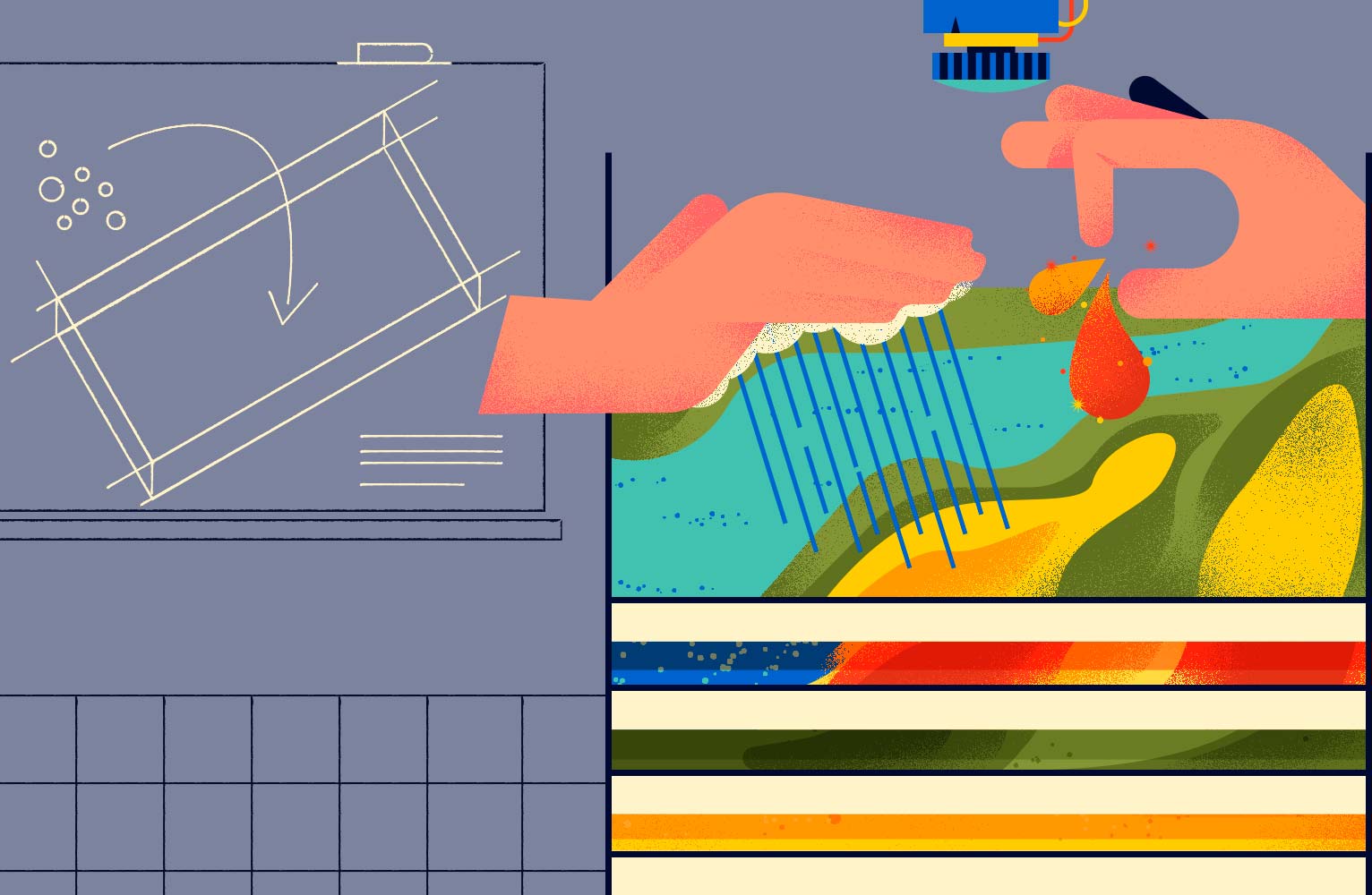
By hovering a hand over a part of the sandbox, users can make it rain—virtually, at least. The camera interprets the gesture as a rain cloud and projects a moving image of water across the virtual terrain. Students can see the water hitting a valley or a hill, observing where it goes and how it reacts to the virtual landscape. The software is even advanced enough to show the waves moving and bending around the shallows. By adding more water in a pulsing motion, users make waves that appear to hit the shores more violently, as if during a storm. If they instead reduce the amount of water, they can watch what happens if the land dries out. Overall, they can witness where the water will flow over time, giving them a chance to really understand these relationships.

The next step is understanding the movement of water through watersheds, which are areas of land that drain rainfall to a common outlet, like the outflow of a reservoir or the mouth of a bay. Previously, the only way to tell how water would flow was to infer from the contour lines printed on maps. However, this method is neither intuitive nor straightforward. Having a 3-D map of watersheds makes it easier for students to determine how water will flow the next time they look at a 2-D map of their local geography.

Did we mention that the AR Sandbox can also make it rain lava? After all, it’s still a virtual world.

Uploading your own map

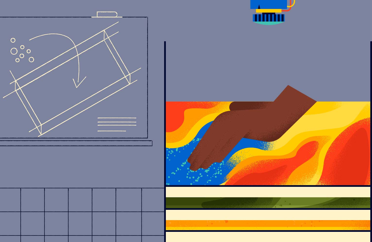
Once they have a basic understanding of the AR Sandbox technology, students can apply it to any existing terrain model. The camera projects blue light over the areas with too much sand and red light over the areas with too little sand, instructing users to move and sculpt the earth until it matches the terrain map they’ve uploaded. Building a model of a local area reinforces students’ personal sense of place in a region, encouraging them to ask questions.

By helping students familiarize themselves with the terrain of their own homes, Kinyon hopes to inspire a love of the land and a sense of responsibility to protect it. “Maps are ways to enhance someone’s knowledge of a place.… The language of geography lets me tell stories of streams, habitats, wildlife, physical processes, and people across the landscape,” he said. “If I need people to be able to hear, understand, and be motivated to act on the conservation of land, then I need them to have strong geographic literacy.”

The camera

A crucial component of the AR Sandbox, the camera acts as the basis for the entire operation by creating the 3-D model of the sandbox’s terrain. The camera has two functions. The first involves projecting infrared dots, invisible to the naked eye, in a pattern over the surface of the sand. Then, based on the distortion of the dot pattern, the camera is able to figure out the distance between different parts of the sand’s surface. From this information, the computer inside the camera can reconstruct a scale model of the sandbox, apply colors, and generate contour lines. The camera projects this image back onto the sandbox, which is expressed as a 3-D topographical map.

The 3-D topographical map

The resulting contour lines demonstrate gradients and elevations, allowing pupils to truly immerse themselves in a topographical image. They can judge things like the slope of the terrain or the angle of an exposed bedding. This means they get applicable field skills before they even leave the classroom.

“One of the first things that our undergraduates have to learn is how to read and interpret maps,” said Dr. Oliver Kreylos, the software developer for the AR Sandbox and a researcher in the Department of Earth and Planetary Sciences at UC Davis. “It’s very important for students to learn and understand the 3-D structure under the surface of the Earth, because this tells you how a landscape is changing and will change in the future.”

It’s a difficult subject to teach, he said, because they used to only have two-dimensional maps to work with. That changed with AR. “When the students worked with the sandbox, suddenly, it clicked with them,” he said. “They could see a topographical map in 3-D and line it up with their eye.” Those who used the sandbox were later able to make better observations in the field and more accurate maps, he added.

Real-time topographical updates

The main allure of the sandbox is the ability to touch the sand, move it, and shape it. With each line drawn and each hole dug, the camera perceives the changes made, scans the surface again, and creates another 3-D model. The projected colors and lines change in real time. “There’s an immediate tactile response of getting your hands in the sand and having that sensual, reinforcing memory,” said Joseph Kinyon, GIS manager with the Sonoma Land Trust. He believes that this hands-on experience should be leveraged to reach students who comprehend best by seeing, doing, and experiencing an emotional impact. It also offers him a way to teach his pupils the relationship between people and a landscape, plus how areas have changed over time.

Moving within the experience

By hovering a hand over a part of the sandbox, users can make it rain—virtually, at least. The camera interprets the gesture as a rain cloud and projects a moving image of water across the virtual terrain. Students can see the water hitting a valley or a hill, observing where it goes and how it reacts to the virtual landscape. The software is even advanced enough to show the waves moving and bending around the shallows. By adding more water in a pulsing motion, users make waves that appear to hit the shores more violently, as if during a storm. If they instead reduce the amount of water, they can watch what happens if the land dries out. Overall, they can witness where the water will flow over time, giving them a chance to really understand these relationships.

The next step is understanding the movement of water through watersheds, which are areas of land that drain rainfall to a common outlet, like the outflow of a reservoir or the mouth of a bay. Previously, the only way to tell how water would flow was to infer from the contour lines printed on maps. However, this method is neither intuitive nor straightforward. Having a 3-D map of watersheds makes it easier for students to determine how water will flow the next time they look at a 2-D map of their local geography.

Did we mention that the AR Sandbox can also make it rain lava? After all, it’s still a virtual world.

Uploading your own map

Once they have a basic understanding of the AR Sandbox technology, students can apply it to any existing terrain model. The camera projects blue light over the areas with too much sand and red light over the areas with too little sand, instructing users to move and sculpt the earth until it matches the terrain map they’ve uploaded. Building a model of a local area reinforces students’ personal sense of place in a region, encouraging them to ask questions.

By helping students familiarize themselves with the terrain of their own homes, Kinyon hopes to inspire a love of the land and a sense of responsibility to protect it. “Maps are ways to enhance someone’s knowledge of a place.… The language of geography lets me tell stories of streams, habitats, wildlife, physical processes, and people across the landscape,” he said. “If I need people to be able to hear, understand, and be motivated to act on the conservation of land, then I need them to have strong geographic literacy.”