This Useful Map Reveals Photography ‘Hotspots’ Around the World
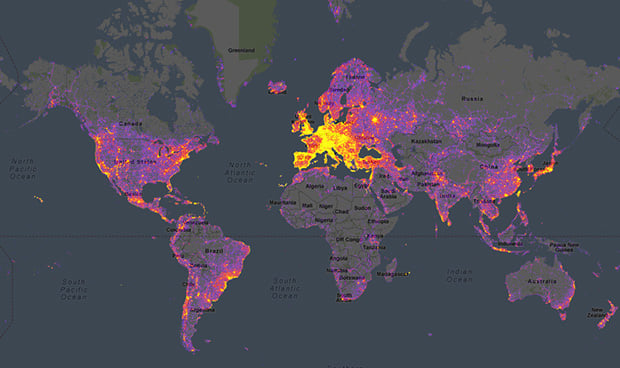
Landscape photographer and travel addict Mike Wong has created a super useful tool for fellow photographers who want some help location scouting. It’s called “PhotoSpots,” and it’s an interactive “heatmap” that reveals photography hotspots around the globe and even pulls sample photos from those locations.
“I love traveling and finding new spots to photograph, and therefore I’m often scrolling aimlessly through Google Maps,” writes Wong, explaining why he created PhotoSpots in the first place. “A few weeks ago, I thought that it would be interesting to see where and when other photographers were taking photos, so I decided to create a small website that shows exactly that.”
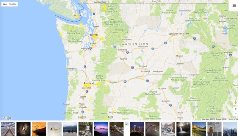
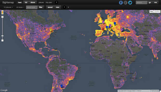
The map, which is powered by Google and uses photo data from 500px, consists of three parts:
- The actual heatmap, which shows photography hotspots across the globe.
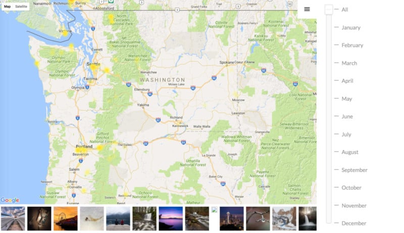
- A slider that lets you filter photos by the month they were taken.
- And a thumbnail bar that displays images captured in the slice of map you’re currently viewing.
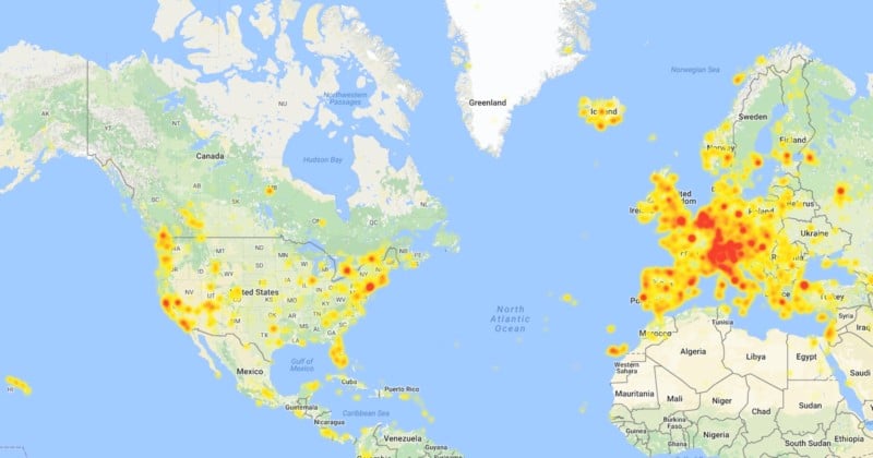
Zoom in on the pacific northwest like we did above, and you’re greeted by a lot of beautiful nature imagery. And if you want to break down the map by months, just click on the menu in the top right:
So far, the map is a little bit limited on historical data because of the way 500px works. “[500px] only returns recent photos, so there is not much data for months other than December and January,” explains Wong. “But this will come in time, since it updates the data daily.”
He’s also planning to continue improving the map with category filters and other updates based on the feedback he’s getting from photographers. To add your voice to the fray, head over to his Reddit post. And then, if you like what he’s created, show Wong some love on Instagram for his trouble.